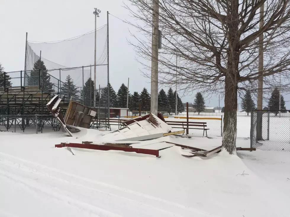
The Latest On The Next Round Of Winter
The National Weather Service says a low-pressure system coming out of the Central Plains today will shift across Iowa Wednesday and into the Great Lakes
Wednesday night. Snow will begin to develop late tonight across
southern Minnesota and continue to spread east and northward on
Wednesday before diminishing Wednesday evening.
The heaviest snow is expected near the Minnesota/Iowa border
where 5 to 8 inches are expected with amounts tapering off
northward. The heaviest snowfall is expected to occur Wednesday
morning into the afternoon before beginning to diminish.
A Winter Storm Warning starts at 7 am Wednesday for areas including Waseca, Owatonna, Blue Earth, and Albert Lea as well as Dodge Center, Rochester, Austin, and Preston.
A Winter Weather Advisory will go into effect Wednesday morning for Madison, Granite Falls, Redwood Falls, New Ulm, and St James as well as Olivia, Hutchinson, Gaylord, Chaska,
Shakopee, Hastings, St Peter, Le Sueur, Faribault, Red Wing,
and Mankato.
More From KRFO-AM


