Large Hail, Isolated Tornadoes Possible Across SE Minnesota Tuesday Evening
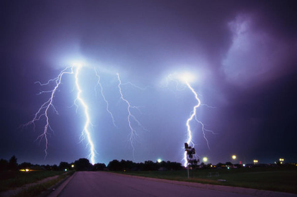
Southeast Minnesota could be in for some strong storms on Tuesday evening. The NWS posted the warning on their Facebook page: "Severe storms possible Tuesday evening into Tuesday night! Risk of large hail, damaging winds, locally heavy rain, and perhaps an isolated tornado. Stay weather aware and monitor the latest forecast for updates, as the threat area and timing continue to be refined." It is a little too early to accurately predict the timing and location of any potential storms, but the NWS does highlight the area the highest risk area in the map below.
We'll continue to monitor and provide updates as necessary. It will be hot on Tuesday with temps in the low to mid-90s. Read the full forecast here and download our app to receive important weather information on your phone.

SCROLL & SNIFF: Smells That Mean It's Almost Summer in Minnesota
More From KRFO-AM

