Rochester Included in Flash Flood Watch Through 7 AM Tuesday
Rochester, MN (KROC-AM News) - The risk of additional flooding is expected to persist in southeastern Minnesota into Tuesday morning.
The National Weather Service has issued a new flash flood watch for the southeastern corner of Minnesota through 7 AM Tuesday. The watch includes Rochester and Olmsted County, along with Dodge, Fillmore, Houston, Mower, Wabasha, and Winona Counties.
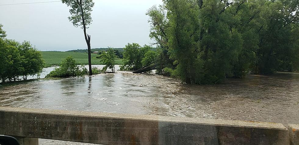
The National Weather Service says thunderstorms capable of producing heavy downpours will likely develop along in north of the I-90 corridor into the night. Forecasters say some of the storms could generate downpours with rainfall rates exceeding to inches per hour onto already saturated soil. In addition to the possibility of more flash flooding, there is also a heightened risk of mud and rock slides in bluff country.
The storms that hit early today dumped significant rainfall amounts on the already saturated ground in the region. It appears the heaviest showers fell in areas east and southeast of Rochester. The National Weather Service received a report of over 1.7 inches near Saint Charles and almost 1.5 inches of additional rain near Mabel. Caledonia also reported over an inch of rain, while the rainfall totals in the Rochester area ranged from a little over a half inch to just under an inch.
News update: Suspect in Rochester Shooting Formally Charged
More From KRFO-AM