
Fire Weather Watch Issued For Much of Minnesota
UNDATED (WJON News) -- The National Weather Service says it will be cooler and comfortable Saturday, followed by hot, dry, and windy conditions heading into early next week.
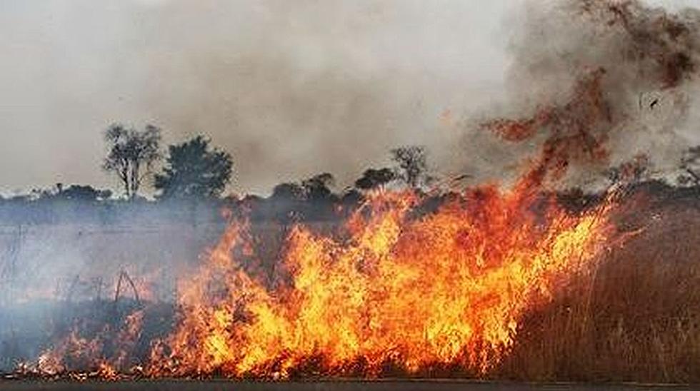
Conditions will become favorable for rapid fire spread.
A Fire Weather Watch has been issued for Sunday.
South to southwest winds of 15 to 25 mph with gusts up to 35 mph.
Any fires that develop will likely spread rapidly. Outdoor burning is not recommended.
More than 475 wildfires have been reported to the Minnesota DNR since April 1st. Leanne Langeberg of the Interagency Fire Center says the recent sunny, warm weather is increasing the fire risk in parts of the state:
"Last year's plants have dried out over the winter and they have no capability to really retain any type of moisture. So, they're ready fueled for a wildfire.
She says campfires should be no larger than three feet high and three feet in diameter under these conditions.
READ RELATED ARTICLES
- Construction Starting On New Eatery On St. Cloud's East End
- Abbey Graves Dancing for INDY Foundation
- Matt Love Dancing For Greater St. Cloud Public Safety Foundation
- Kevin Johnson Dancing For Tanner's Team Foundation
- St. Cloud Beer Wins Gold Medal At World Cup
See the Aftermath of the 1886 St. Cloud, Sauk Rapids and Rice Tornado
Gallery Credit: Brown and Riley, "Cyclone Views: Pictures Sauk Rapids Cyclone" (1886). University and Other Publications. 1.