Blizzard Dumps Nearly 20 Inches of Snow on Duluth Area
Rochester, MN (KROC-AM News - Slick conditions were reported Sunday morning on roadways throughout southeastern Minnesota, where a winter weather advisory is in effect through 6 PM, but some major highways in northern Minnesota remain impassable due to the weekend blizzard.
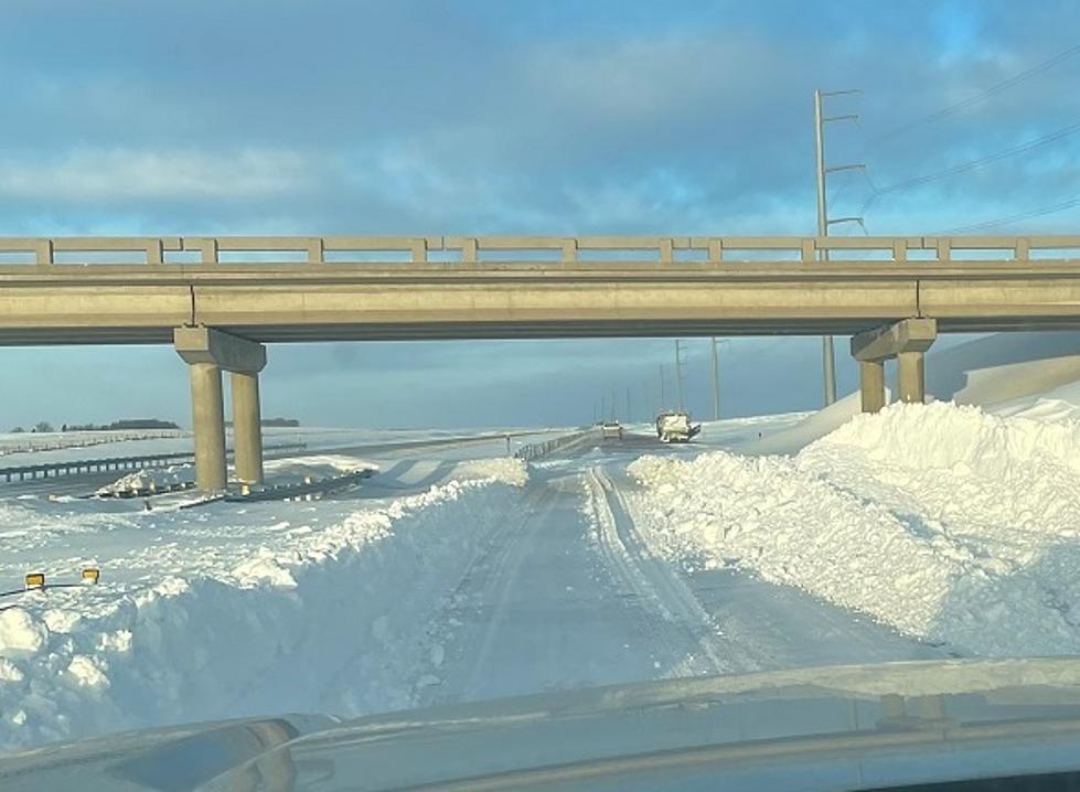
The heaviest snowfall totals have been in the Duluth area, where Cloquet reporting close to 20-inches of accumulation since the storm arrived early Saturday. Huge waves pounded Duluth’s Canal Park during the peak of the storm, resulting in flooding in the middle of the roaring blizzard. Nearby Blueberry Wisconsin has reported 21.5 inches of new snow, while there are many areas across the northern third of the state that have seen a foot or more of accumulation.

From late Friday night through 9 PM Saturday, the State Patrol has received reports just under 320 traffic crashes resulting in almost 30 injuries, including a multi-vehicle crash in Coon Rapids that resulted in critical injuries to a child. There had also been almost 525 reports of vehicle spinouts and 8 jackknifed semi-trucks.
Travel conditions should improve across Minnesota this afternoon as the massive low-pressure center that created the mess moves off to the east. The areas of northern Minnesota that felt the brunt of the storm are expecting sunny skies by the end of the afternoon, while some additional light snow is possible in southeastern Minnesota before the skies are forecast to clear off tonight and lead to a dry and quiet first week of December.
News Update: Rochester City Staff Recommends Funding Plan For North Broadway

More From KRFO-AM