It’s Official: Snowiest Duluth Winter Since 1885 – Ice Storm Potential Today
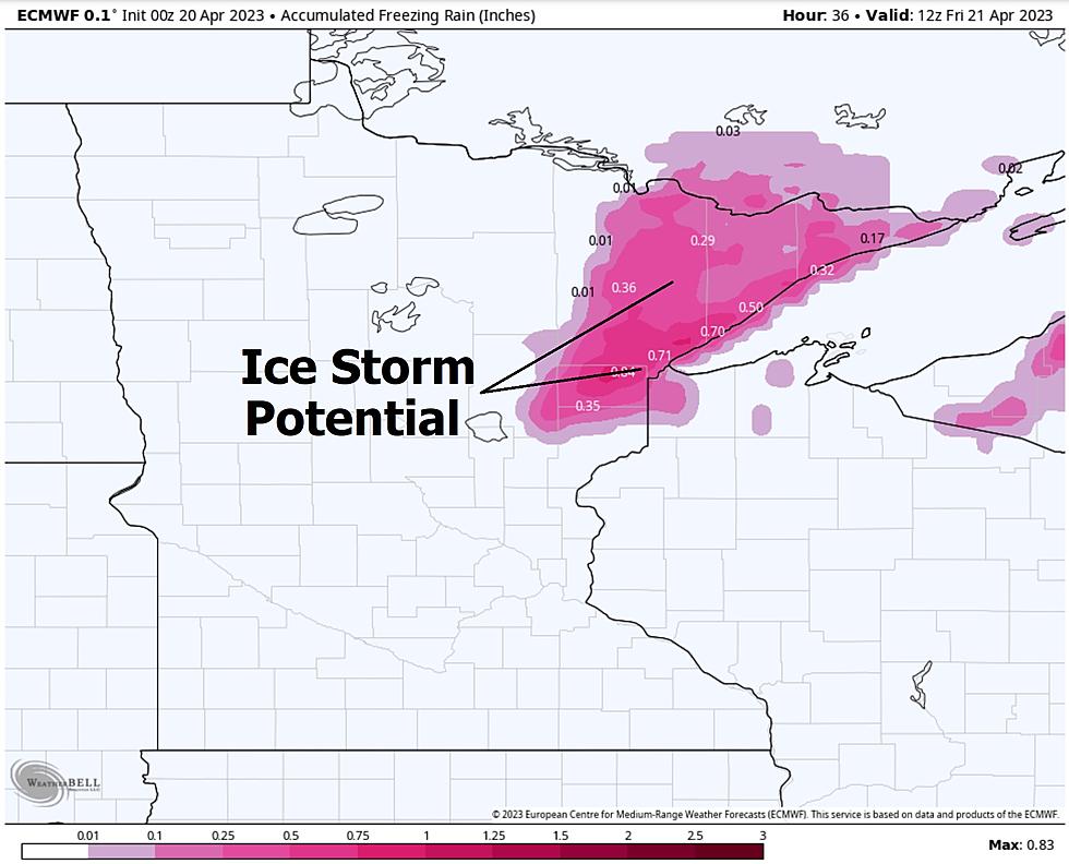
Ice Storm Potential Today and Tonight
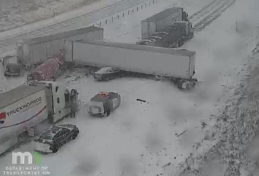
"May you live in interesting times", the old proverb goes. And I don't think that's a compliment. Welcome to the snowiest winter since accurate weather records were first kept at Duluth back in 1885. That's 137 seasons of measuring snow in the Twin Ports. Today will be a windy, icy mess with rain freezing on contact with cold surfaces. Give yourself extra time to get around today, and there is a risk of glaze ice bringing down tree branches, even a few power lines as the day goes on.
European Model: Total Snow Accumulation by Saturday Morning
Although precipitation today will fall as an icy mix of sleet and freezing rain, additional snow at the tail-end of this irritating storm will fall tonight into Friday, with the heaviest snow accumulations north and west of Duluth-Superior. ECMWF (European) guidance hints at 10" snow totals for the North Shore, even more for parts of the Iron Range, Walker, Brainerd and International Falls. Good times.
Snowiest Winter on Record at Duluth
The Duluth National Weather Service measured an additional 2" of snow earlier today, bringing the seasonal total up closer to 137" for the Twin Ports by my calculations. There is no question we just broke the all-time snowfall record at KDHL - the only question now is how much more snow will fall. After studying the storm track, moisture and temperature profile I suspect another 2-4" in the Twin Ports, but considerably more along the North Shore and the Iron Range.
Future Radar Precipitation Type
Here is NOAA's HRRR high-resolution weather model showing precipitation types today. All that orange is sleet, with freezing rain mixing in across the Twin Ports. Blue is snow, falling heavily at times later today and tonight over central and northern Minnesota, while the Twin Cities see mostly rain (green).
Peak Wind Gusts Today
A tight pressure gradient may turn on 40-50 mph wind gusts today, strongest on and near Lake Superior. All in all, between the ice, snow and wild winds, a fairly unpleasant day.

Limping Into Spring
After one more spasm of winter into Saturday morning, we climb back into the 50s later next week, with a risk of spring returning by the first week of May.
Is this winter's last big blast? I think so, but I probably shouldn't say it out loud. Old Man Winter: "hold my beer".
This has already been a record-setting winter for snow. Now we have to contend with ice, more flooding and a delayed, stunted spring.
More than ever, residents of the Northland will EARN their summer this year.
The Best Car Washes In The Duluth Superior Area
Gallery Credit: Steve Tanko
More From KRFO-AM


![This Otter Knows How to Enjoy a Minnesota Snowstorm [watch]](http://townsquare.media/site/719/files/2021/12/attachment-ABC-News-Otter-Twitter.jpg?w=980&q=75)

