Severe Weather Threat Again Today Across Southern MinnesotaSevere Weather Threat Again Today Across Southern MinnesotaThe National Weather Service says a few strong to severe storms are possible in southern Minnesota this afternoon and evening.Pete HansonPete Hanson
Severe Storms Possible Tonight in Southern MinnesotaSevere Storms Possible Tonight in Southern MinnesotaThe National Weather Service says there's a risk of severe weather across southern Minnesota this evening through Friday morning.Pete HansonPete Hanson
Severe Weather Possible Tonight in Southern MinnesotaSevere Weather Possible Tonight in Southern MinnesotaThe National Weather Service says there's a chance of severe storms across southern Minnesota tonight -- mainly between 8 pm and 3 am.Pete HansonPete Hanson
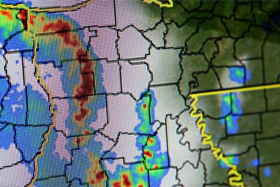
Severe Weather Risk Across Southern Minnesota TodaySevere Weather Risk Across Southern Minnesota TodayThe National Weather Service says that thunderstorms are expected to develop across southern Minnesota this afternoon, and a few could be severe.Pete HansonPete Hanson
Are You Prepared for a Minnesota Severe Weather Event?Are You Prepared for a Minnesota Severe Weather Event?There's severe weather in today's forecast, and things can go from bad to worse in an instant. Are you and your family prepared?Pete HansonPete Hanson
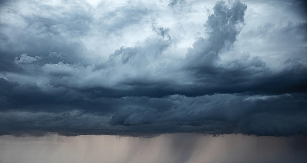
Isolated Severe Storms Possible in Southern Minnesota TodayIsolated Severe Storms Possible in Southern Minnesota TodayThe National Weather Service says that isolated severe thunderstorms are possible late this afternoon across central and southern Minnesota.Pete HansonPete Hanson
What City Are You Most Likely To Be Struck By Lightning In Minnesota + Wisconsin?What City Are You Most Likely To Be Struck By Lightning In Minnesota + Wisconsin?Lightning strikes are mapped out, and they actually can tell you where the most lightning strikes occur. Did you know 1/3 of lightning injuries happen inside?Ken HayesKen Hayes
How Prepared Are You for a Severe Weather Event?How Prepared Are You for a Severe Weather Event?It's severe weather season in Minnesota, and things can go from bad to worse in an instant. Are you and your family prepared?Pete HansonPete Hanson
Here Is Where Minnesota Ranks In States Safest From Natural DisastersHere Is Where Minnesota Ranks In States Safest From Natural DisastersMost parts of the world are plagued with natural disasters. Find out where Minnesota ranks in states safest from natural disasters.IanIan
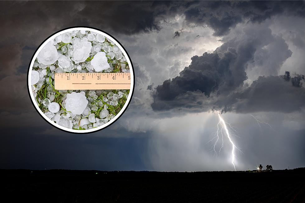
Severe Weather Possible This Afternoon Across Southern MinnesotaSevere Weather Possible This Afternoon Across Southern MinnesotaThere's a risk of severe weather across portions of southern Minnesota this afternoon, with damaging winds being the main threat.Pete HansonPete Hanson