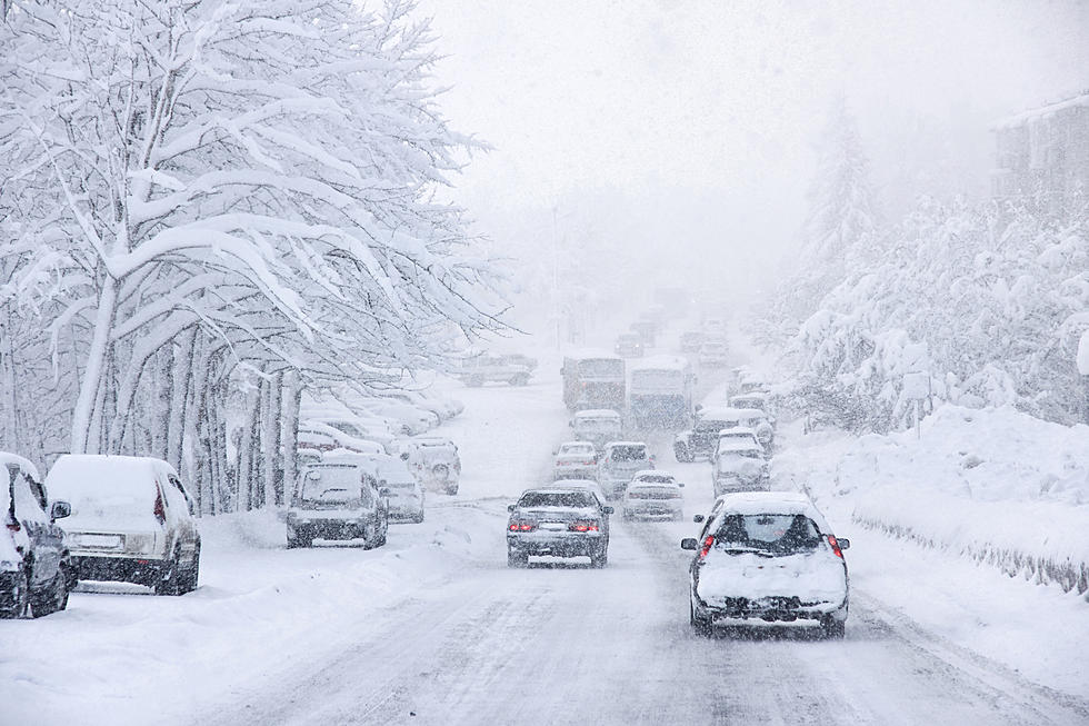
Winter Storm Watch
A Winter Storm Watch has been issued for areas south of I-94 in
Minnesota Friday afternoon into Saturday morning. Snow will
develop across the Dakotas and build eastward into west central
Minnesota late Friday morning, reaching east central Minnesota
Friday evening. There may be a brief period of rain before turning
to heavy snow as temperatures cool quickly. This watch includes the cities of St Cloud, Litchfield, Monticello, Minneapolis, Hutchinson, Chaska, Shakopee, Hastings, Le Sueur,
Faribault, Red Wing, and Owatonna.
Snowfall amounts of 5 to 9 inches are expected across western and
southern Minnesota. There will be a sharp gradient in amounts
near I-94, with little or no snow possible over northwest and
portions of west central Wisconsin. Any shift would lead to
significant forecast changes near this gradient, which includes
the Twin Cities metro.
This is still a developing situation. Keep checking back on air and on line for the latest information.
 Source: Winter Storm Watch
More From KRFO-AM