Thursday Practice Tornado Drills. More White Stuff This Weekend
The National weather service says that
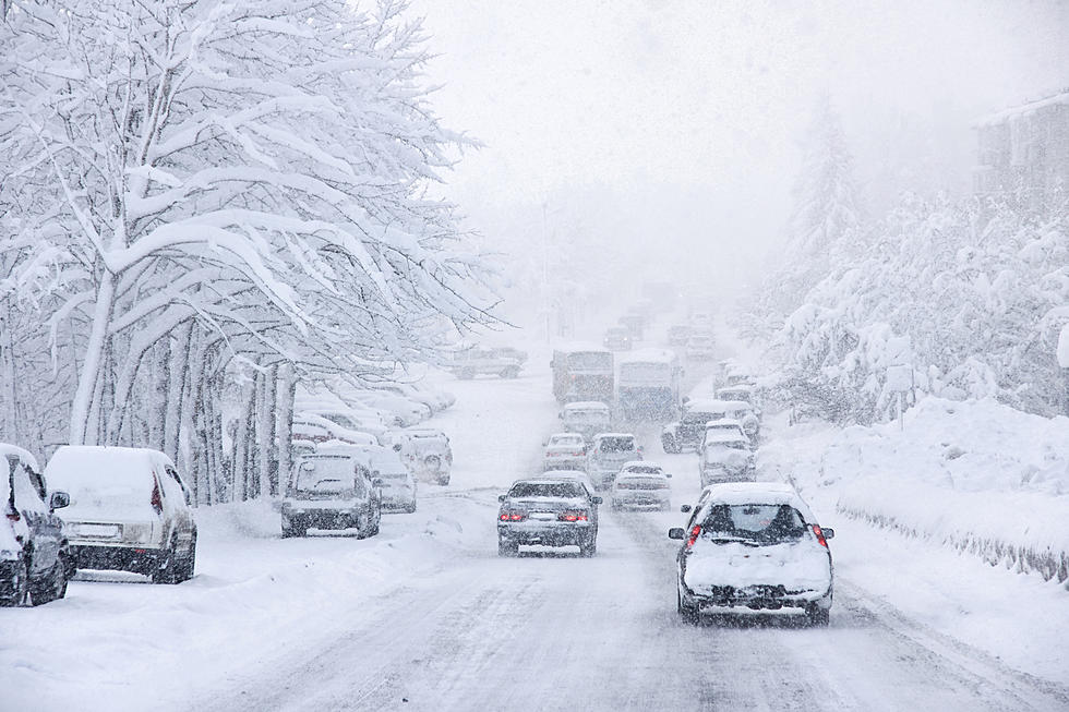
a significant winter storm is expected Friday afternoon into
Saturday evening and will likely include all precipitation types,
strong winds, and blizzard conditions. A Winter Storm Watch is in
effect for Friday afternoon and Saturday for much of central and
southern Minnesota and west central Wisconsin. Cities included Le Sueur,
Faribault, Red Wing, Mankato,Waseca, Owatonna, Fairmont, Blue Earth,
River Falls, Prescott,Durand, and Eau Claire.
Rain and thunderstorms are expected to develop late Thursday
night and persist for much of the day Friday as temperatures
remain in the mid-30s in central Minnesota to the lower 40s along
the Minnesota Iowa border. Colder air will begin to move into
central Minnesota Friday afternoon and evening, changing the
precipitation to snow across central and western Minnesota. In
addition to the heavy snow, strong winds gusting between 40 to 50
mph will bring the possibility of blizzard conditions to west
central Minnesota. The best chance for whiteouts will be late
Friday night there. The rain will turn to a wintry mix of freezing
rain, sleet, and snow across south central and east central
Minnesota, and west central Wisconsin Friday evening, before
changing to all snow Saturday morning.
Total snow accumulations of 8 to 15 inches are possible across
central and west central Minnesota, with totals tapering off to 3
or 6 inches across south central Minnesota and west central
Wisconsin. Total ice and sleet accumulations of one to two tenths
of an inch are possible across the southern third of Minnesota
into west central Wisconsin.
So Practice your Tornado drills on Thursday and get ready to shovel snow.

More From KRFO-AM